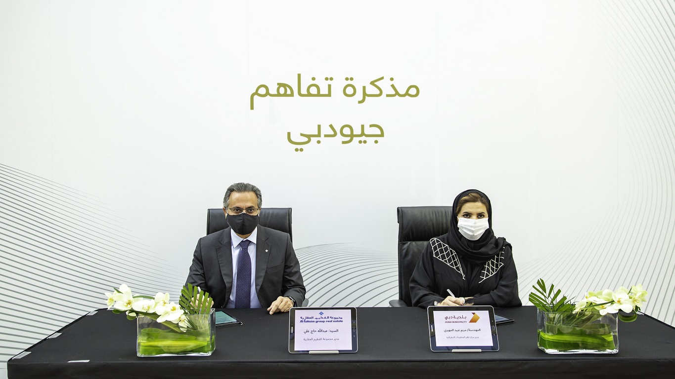
United Arab Emirates, Dubai, 18 October 2020: Al-Futtaim Group Real Estate and Dubai Municipality today signed a Memorandum of Understanding to install the new Makani unique numbering system at Dubai Festival City, the first in the region.
The system is an extension of the current Makani geographic addressing system, with the new system expanded to include all types of in-building units: residential, commercial, and office space among others. Developed in accordance with the GeoDubai 3D parameters and Dubai’s Digital Twin requirements, the building geometric data will be entered into the geographic database and Makani Unit Signs will be installed with a unique code designated to each unit. Also, new in-building movement data will be developed, and the Makani system currently in public use will be updated to include the units and show the directions and destinations of in-building movements
The initiative was launched at Dubai Festival City and will be rolled out across Dubai. Closely following the signing ceremony attended by Eng. Maryam Al Muhairi, Director of GIS Center at Dubai Municipality, the first Makani number was installed at Marks and Spencer in Dubai Festival City Mall.
Dubai Festival City has several smart city initiatives in its pipeline. As one of Dubai’s popular integrated destinations which includes residential and commercial spaces, schools, a sports and social club, a 2.5million sqft mall, three hotels and automotive showrooms, the Makani numbering installation marks another milestone of the destination’s smart city roadmap.
Abdallah Hageali, Group Director, Mixed-Use Real Estate at Al-Futtaim Group Real Estate said, “Dubai Festival City is honored to be the first lifestyle destination to implement the installation of Makani numbers across all our assets. We are a brand committed to building the ambitions of Dubai and play a key role in bringing to life the overall agenda of converting Dubai into a Smart City. As a large scale, end-to-end, global master developer, Al-Futtaim Group Real Estate is committed to unlocking the potential of people, places and commerce across a multi-billion-dollar real estate portfolio. This is a key step on our roadmap to transforming Dubai Festival City into a smart destination that facilitates a connected lifestyle for the community.”
“Leveraging data and analytics to deliver real time solutions is a key component of our smart city roadmap that aims to make customers’ lives easier and more convenient. Dubai Festival City will continue to roll out new partnerships and programmes that provide intelligent solutions to enhance the quality of life of our customers, ” added Hageali.
Dubai Municipality’s Department of Geographical Information System (GIS) uses the latest technologies to collect, validate, analyze, develop and save real estate/urban planning data. This data can be made available to decision makers in government as well as the private sector, with the aim of improving the business environment and enhancing productivity.


